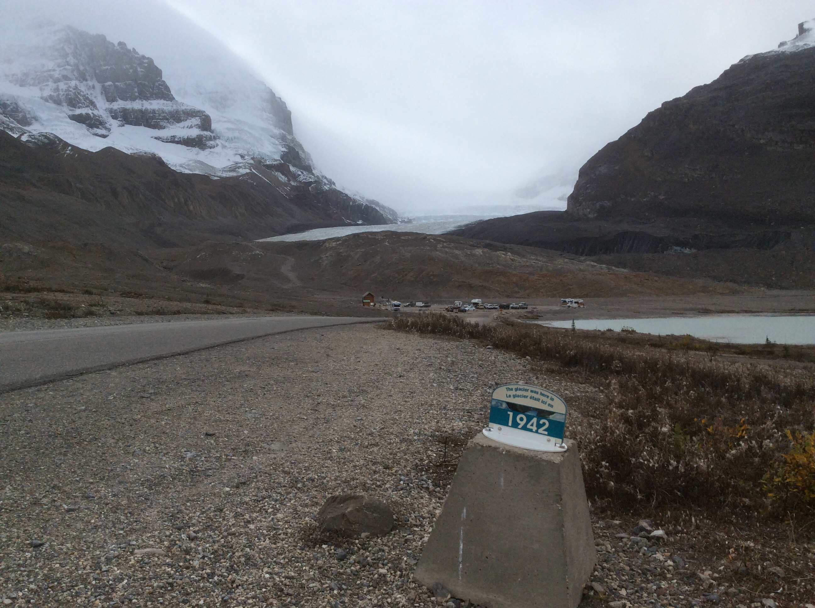
Woke up this morning to the first unpleasant weather of the trip – cold, light rain, and 20 mph winds. It took the excursion to the Icefields off the table. Looking at people who were going we saw that we just didn’t have the clothes for it. Alternatively we spent time in the interpretative center. We learned that what is called the Icefields is an interlocking system of some 30 glaciers covering some 150 sq. miles and at some points reaching a thickness of 365 meters, 1200 ft. The Athabasca glacier closest to the Icefields Parkway has shrunk 1.7 km since 1870. Markers are placed along the access road showing its location in various years. This is the marker from the year Louise and I were born.
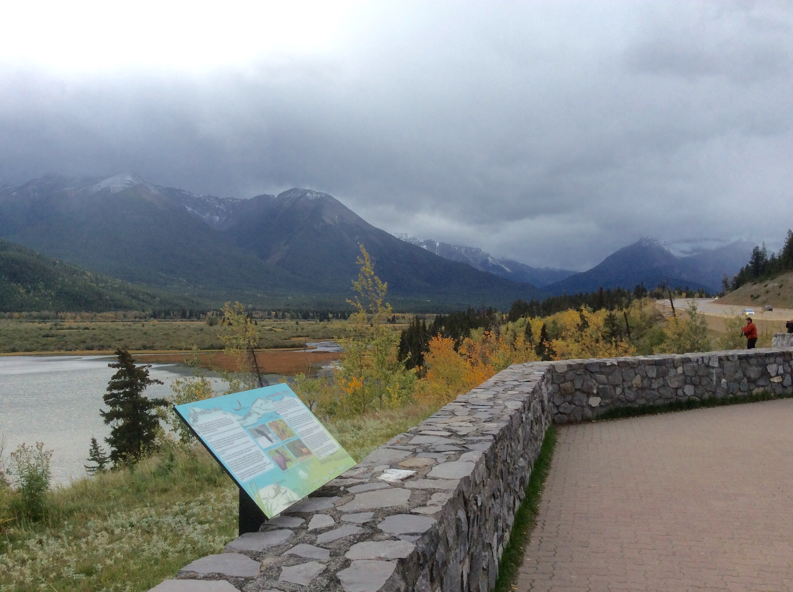
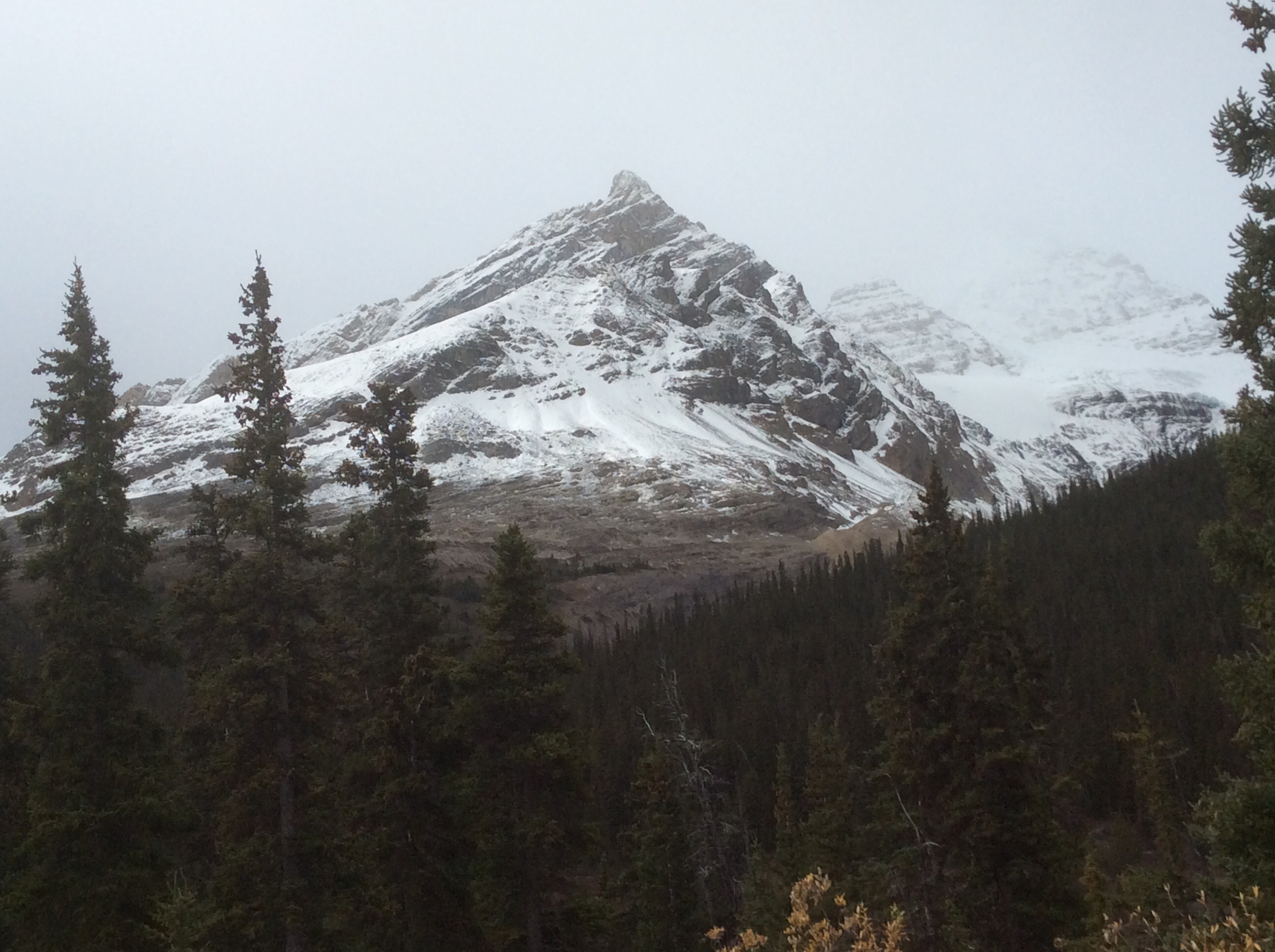
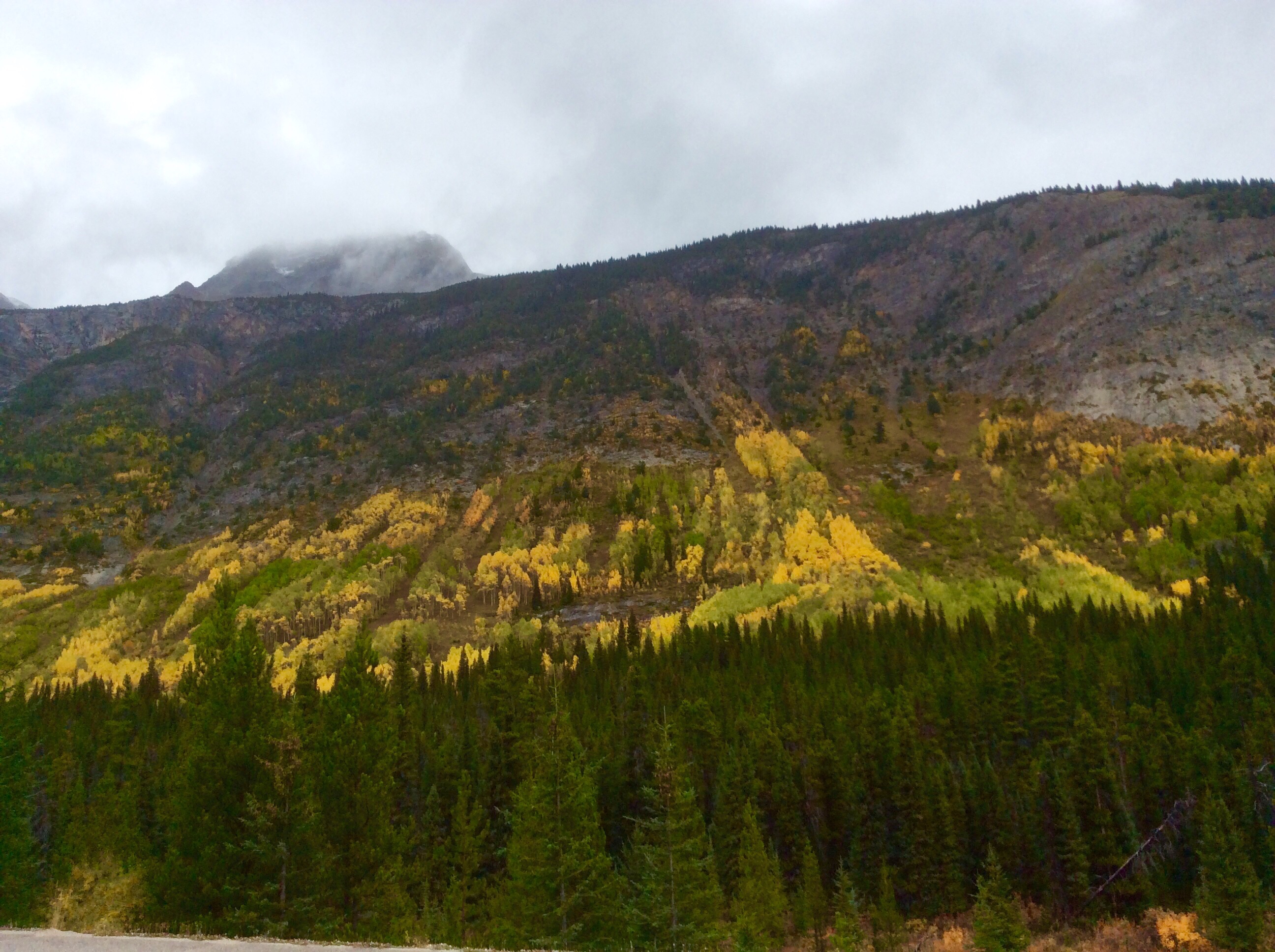
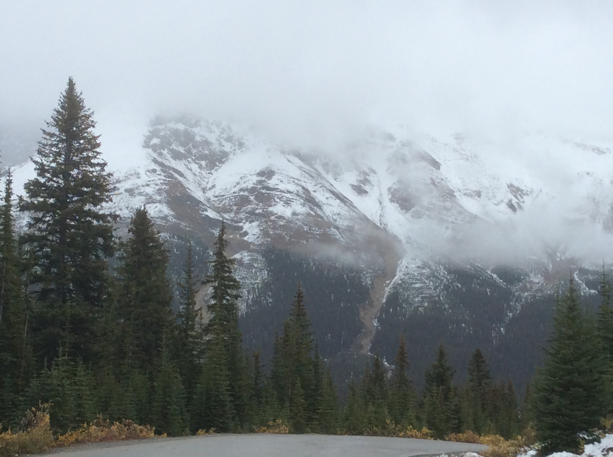
As we drove south to Banff the rain intensified. The rain impacted the beauty of the landscape but not the majesty! We were able to obtain some good shots.
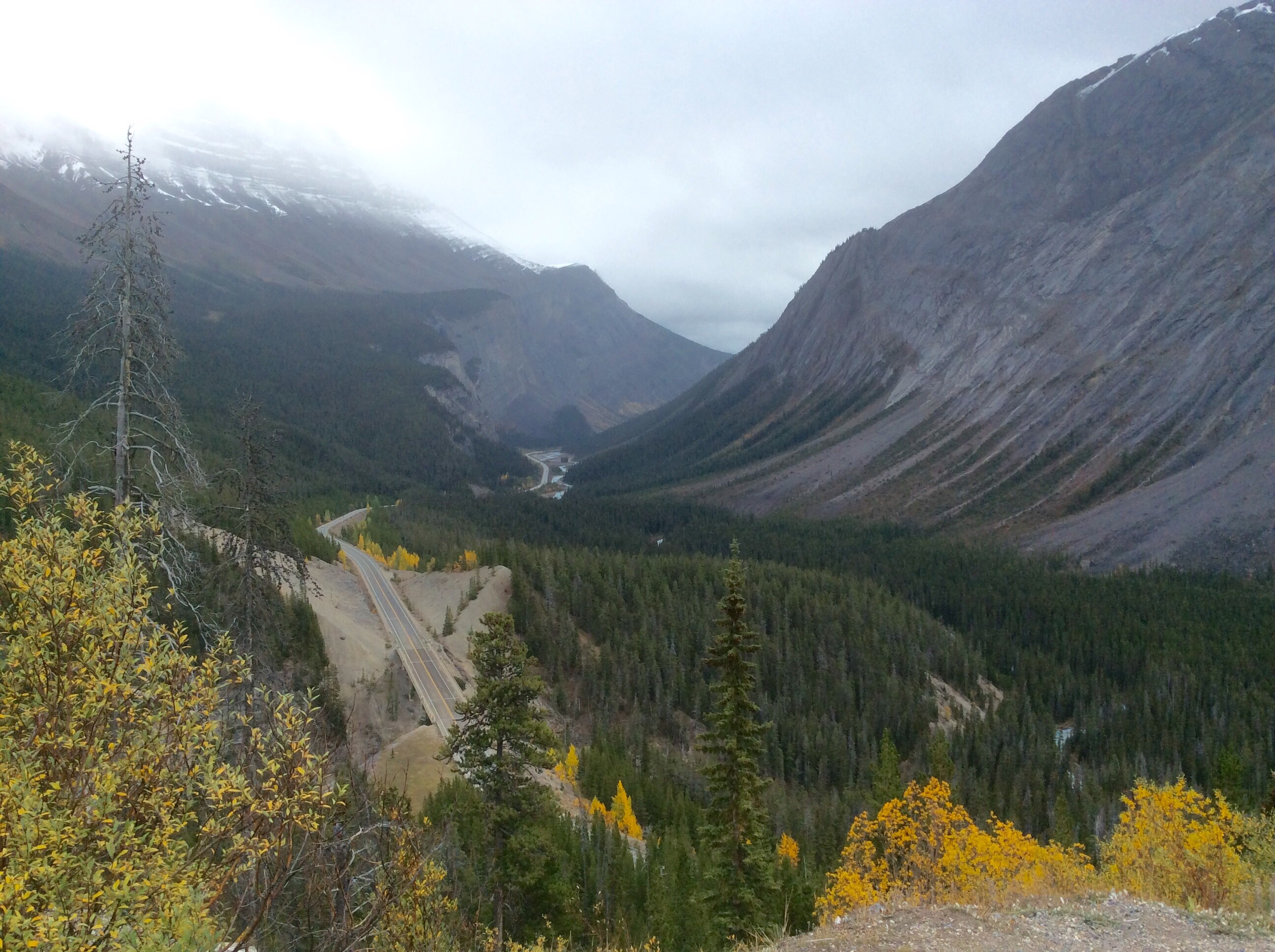
Continuing south we came to Bow Summit the highest point along the Parkway.
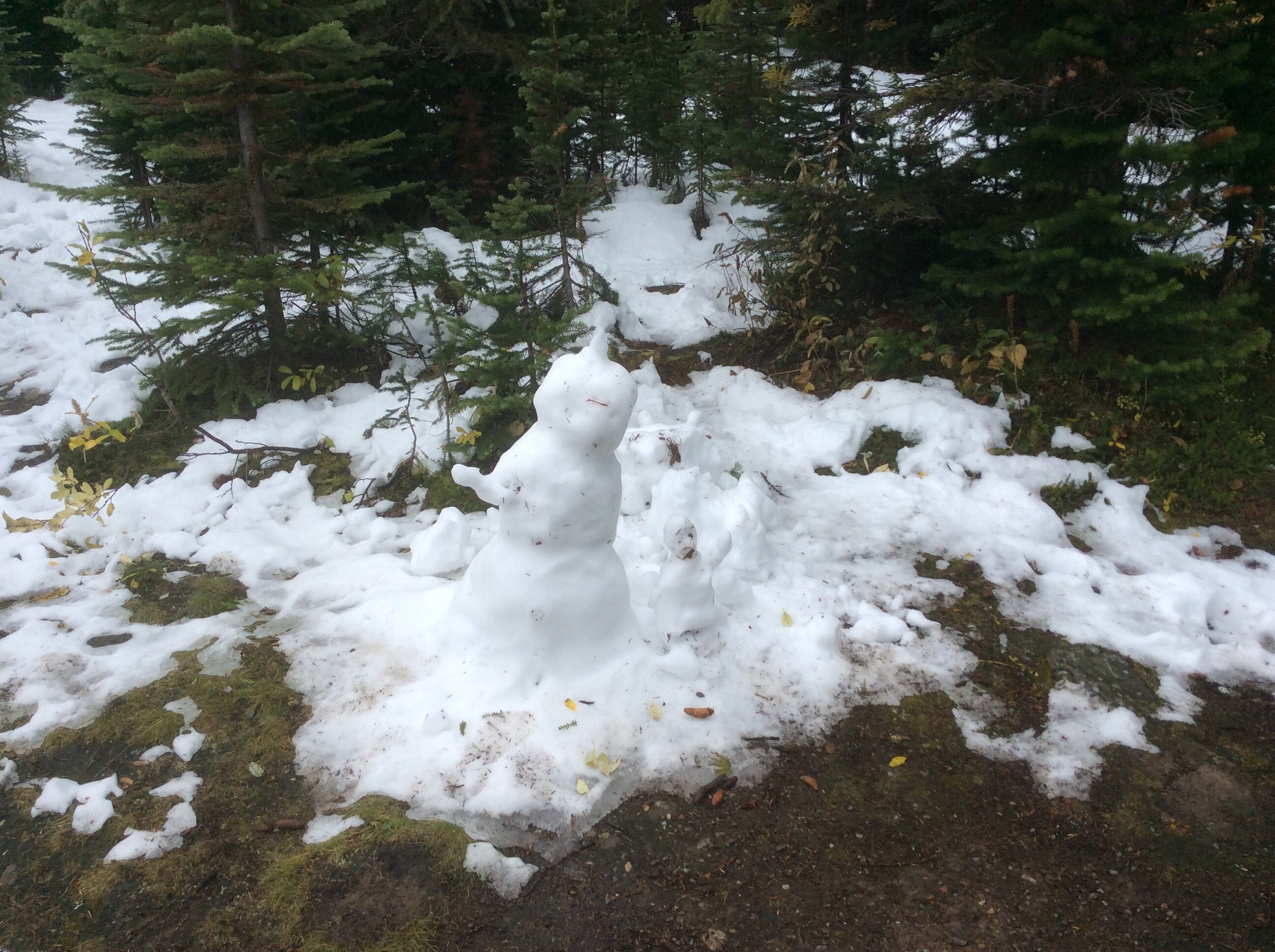
Driving into the Summit’s parking lot we noticed snow in the forest, and the creation of some recent visitor.
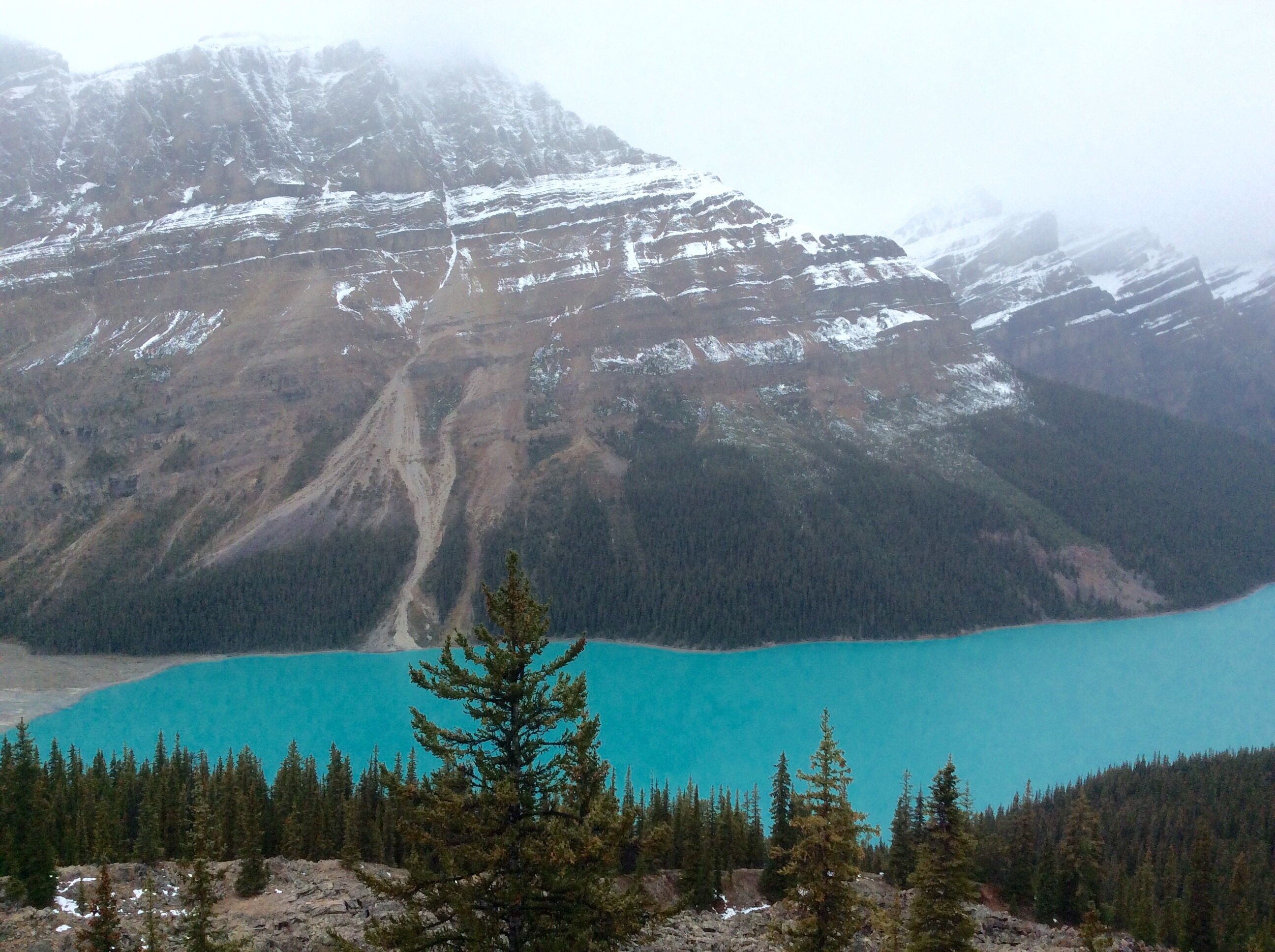
Peyto Lake, the bluest lake in the Rockies, is at the base of Bow Summit
Driving past Lake Louise we arrived at Banff.